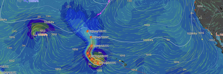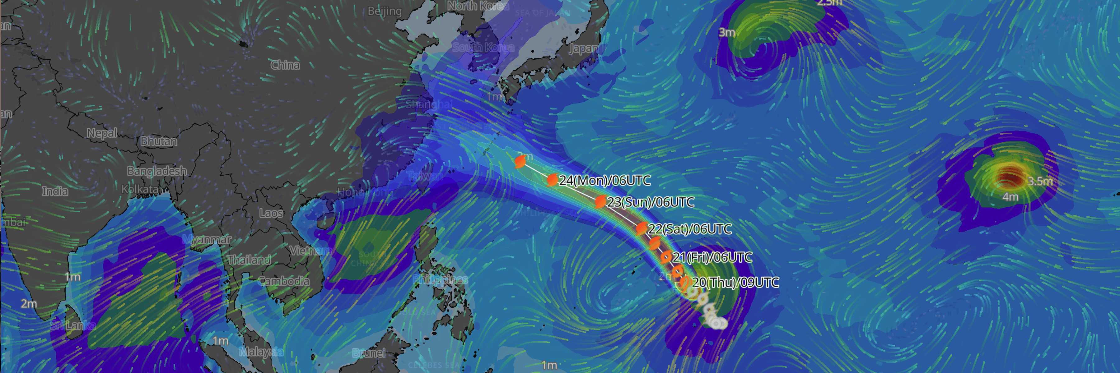
Typhoon No. 18 (Saudel) is forecast to reach "strong" status by 21 August 15:00 as it tracks toward the Mariana Islands and, subsequently, waters south of Japan, according to the latest Japan Meteorological Agency (JMA) advisory issued at 15:50 JST.
CURRENT STATUS
- Location: Near the Truk Islands, 11.5°N, 150.5°E
- Intensity: Typhoon, central pressure 992 hPa
- Movement: West at 12 kt (20 km/h)
- Maximum sustained winds: 45 kt (23 m/s / 85 km/h)
- Maximum gusts: 65 kt (35 m/s / 130 km/h)
- Gale-force (15 m/s+) winds extend 180 NM (330 km) to the south and 150 NM (280 km) to the north of the center
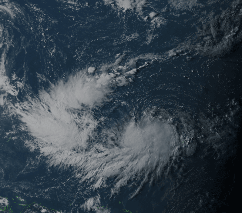
Himawari Satellite Image valid August 20, 2026 09:00 UTC
FORECAST TRACK SUMMARY
Saudel is forecast to move into the Mariana Islands region by 21 August 03:00, tracking north-northwest, before curving onto a more northwesterly heading through 22 August. By 23 August 15:00, the storm is expected to be near the Ogasawara Islands, and by 24 August, JMA places the center in waters south of Japan, continuing on a west-northwesterly track through 25 August. Track uncertainty widens considerably at longer lead times, with the forecast circle radius growing from 40 NM at 21 August to 180 NM by 25 August, so shipping interests in the region should monitor updates closely.
INTENSITY FORECAST
JMA forecasts Saudel to reach "strong" status with a central pressure of 975 hPa and maximum sustained winds of 65 kt (120 km/h) by 21 August 15:00. The storm is expected to continue strengthening through 22 August, reaching 955 hPa and 80 kt, before peaking at "very strong" status on 23 August with a central pressure of 940 hPa, maximum sustained winds of 90 kt (167 km/h), and gusts to 130 kt (240 km/h). From 24 August, the storm is forecast to hold "very strong" status with 945 hPa and 85 kt, before easing to "strong" status with 960 hPa and 75 kt by 25 August as it continues into waters south of Japan.
IMPACTS & THREATS
With the storm-warning area expanding from 70 NM at 21 August to 270 NM by 25 August, vessels transiting the Mariana Islands and Ogasawara regions should expect rapidly deteriorating conditions as Saudel intensifies over the next 48 hours. Mariners operating in waters between the Mariana Islands and Ogasawara, and later south of Japan, should closely monitor updated JMA advisories given the wide forecast cone at longer lead times.
BACKGROUND / CONTEXT
Saudel formed as a tropical depression near the Truk Islands, becoming Typhoon No. 18 at 12:00 JST on 19 August 2026, with JMA noting the system was nearly stationary at the time of formation (central pressure 1002 hPa, maximum sustained winds 35 kt / 18 m/s).
NEXT UPDATE
The next JMA advisory for Typhoon No. 18 (Saudel) is expected within 6 hours of this bulletin (20 August 2026, 15:50 JST).
Weathernews Inc. assumes no liability for navigational decisions, losses, or damages resulting from reliance on this general overview.
While official observations guide the general threat assessment, highly detailed, proprietary routing and port forecasts are essential for safe navigation. Weathernews services provide customers with 24/7 localized data to ensure your vessels remain safe and well-informed. Please consult our dedicated services for the most up-to-date, detailed predictions for your specific routes and operations.
Note on the storm's name: "Saudel" was contributed by the Federated States of Micronesia to the Western North Pacific and South China Sea tropical cyclone name list. In the Pohnpeian language, it refers to a trusted guard or soldier serving the Chief Saudeleur. The name replaced "Soudelor" after the 2015 storm caused significant damage in Taiwan and mainland China, leading to its retirement. The WMO and the ESCAP/WMO Typhoon Committee adopt these names sequentially to make tracking specific storms straightforward and to quickly communicate warnings. To learn more about how storms are named, please visit the World Meteorological Organization (WMO) website.