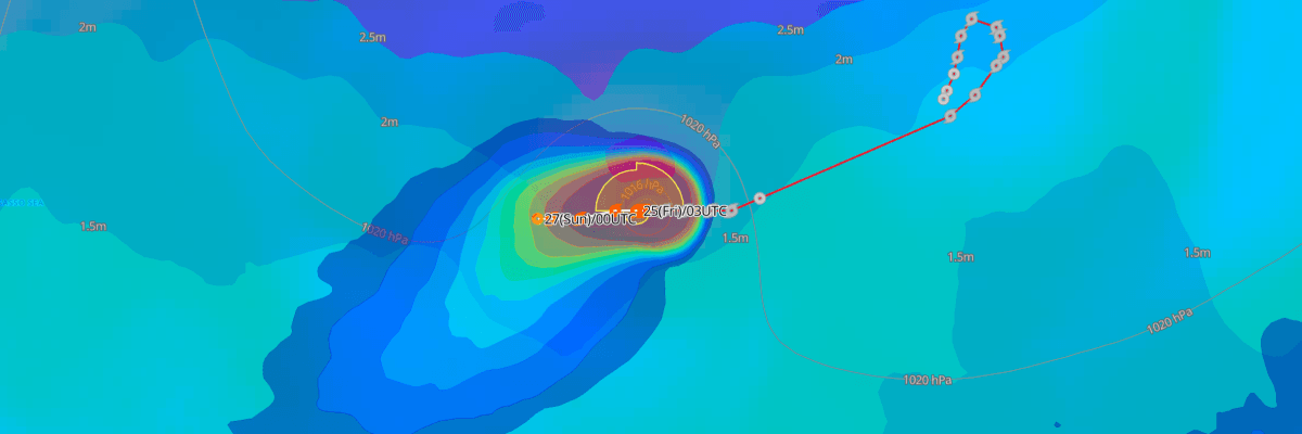
Tropical Storm Fay is holding nearly stationary in the open Central Atlantic, well removed from land. As of 0300 UTC Friday, Fay had maximum sustained winds of 45 kt (50 mph) and a minimum central pressure of 1005 mb (1005 hPa). The storm poses no threat to land and is moving slowly westward, with weakening expected to begin this weekend.
CURRENT STATUS
Based on the latest NHC Public Advisory analysis on September 25, 2026 03:00 UTC:
- Location: Approximately 1,040 mi (1,675 km) west-southwest of the Azores
- Intensity: Tropical Storm
- Movement: West at 9 km/h (6 mph / 5 kt)
- Central pressure: 1005 mb (1005 hPa)
- Maximum sustained winds: 85 km/h (50 mph / 45 kt)
- Maximum gusts: 102 km/h (63 mph / 55 kt)
- Tropical-storm-force winds (34 kt) radius: up to 130 km (80 mi) from center
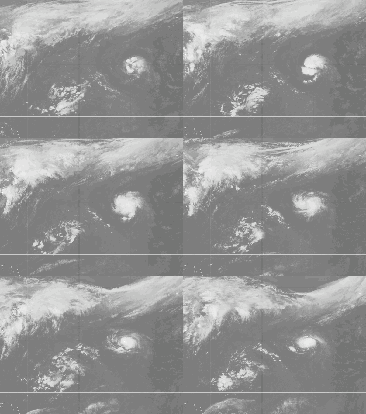
Weathernews Global Composite Satellite Imagery valid September 24, 2026 04:30 UTC to September 25, 2026 04:30 UTC
FORECAST TRACK SUMMARY
Expect Fay to shift toward the west-southwest and then southwest over the next day as its forward speed slows further, driven by high pressure building to its west. The storm is forecast to transition to a post-tropical remnant low by Sunday, and its circulation may persist as a remnant low into early next week before fully dissipating by Tuesday.
INTENSITY FORECAST
Fay could see a brief, slight increase in strength within the next 12 hours, but NHC forecasts steady weakening thereafter as drier air and increasing wind shear erode the storm's convection, with the system dropping below tropical storm strength by early next week.
WIND PROBABILITY & HIGHLIGHTS
No specific locations currently carry a meaningful probability of tropical-storm-force or higher winds, reflecting Fay's distance from populated areas and shipping-lane reference points. Mariners transiting the central Atlantic should continue to monitor subsequent advisories as the track evolves.
IMPACTS & THREATS
Fay remains far from any landmass, and no impacts to land are expected. Mariners in the central Atlantic should be aware of tropical-storm-force winds and elevated seas within roughly 80 miles of the center. Sea heights of up to 4 meters are possible in the storm's northeast and northwest quadrants.
Weathernews Inc. assumes no liability for navigational decisions, losses, or damages resulting from reliance on this general overview.
While official observations guide the general threat assessment, highly detailed, proprietary routing and port forecasts are essential for safe navigation. Weathernews services provide customers with 24/7 localized data to ensure your vessels remain safe and well-informed. Please consult our dedicated services for the most up-to-date, detailed predictions for your specific routes and operations.
Note on the storm's name: "Fay" is drawn from the 2026 Caribbean Sea, Gulf of Mexico and the North Atlantic tropical cyclone name list, the sixth name in the season's sequence. Caribbean Sea, Gulf of Mexico and the North Atlantic tropical cyclone names are pre-selected from twenty one rotating lists. To learn more about how storms are named, please visit the World Meteorological Organization (WMO) website.