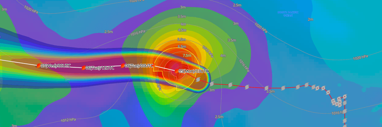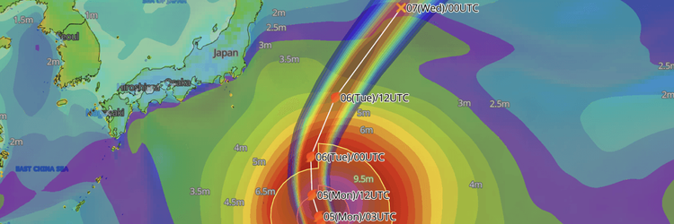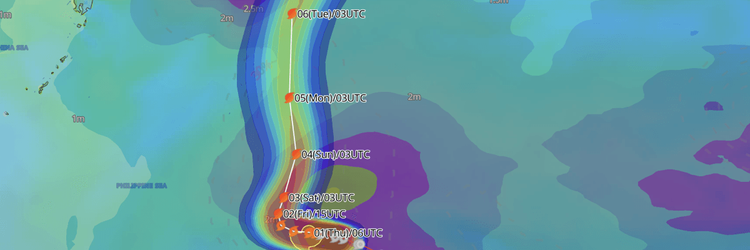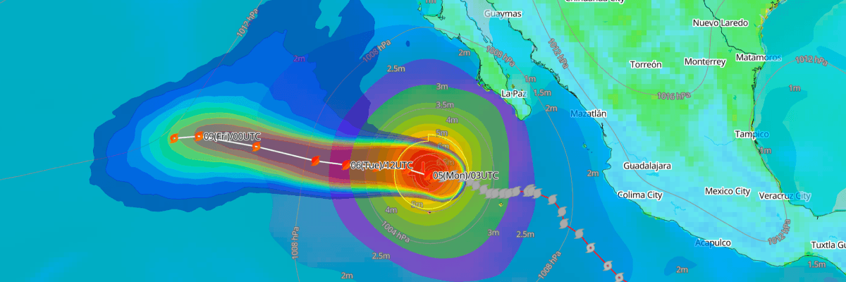
Hurricane Rachel, a Category 2 storm about 365 miles west-southwest of the southern tip of Baja California, is expected to begin weakening Monday as it moves slowly over the open Pacific. Rachel has maximum sustained winds of 85 kt (100 mph) and a central pressure of 967 mb (967 hPa), and is moving west-northwest at 6 kt (7 mph). No coastal watches or warnings are in effect, but swells will continue to affect the Baja California coast.
CURRENT STATUS
Based on the latest NHC Public Advisory analysis on October 5, 2026 03:00 UTC
- Location: 20.2°N, 114.8°W — approximately 590 km (365 mi) west-southwest of the southern tip of Baja California, Mexico
- Intensity: Category 2 Hurricane
- Movement: West-northwest at 11 km/h (6 kt)
- Central pressure: 967 mb (967 hPa)
- Maximum sustained winds: 155 km/h (85 kt)
- Maximum gusts: 195 km/h (105 kt)
- Hurricane-force winds (64 kt) radius: up to 65 km (40 mi) from center
- Tropical-storm-force winds (34 kt) radius: up to 220 km (140 mi) from center
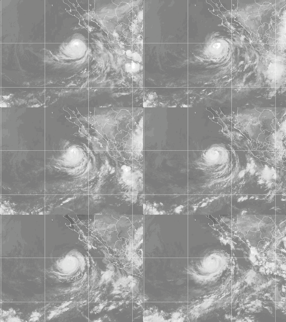
Weathernews Global Composite Satellite Imagery valid October 4, 2026 04:30 UTC to October 5, 2026 04:30 UTC
FORECAST TRACK SUMMARY
NHC forecasts Rachel to drift slowly westward through midweek, staying over open ocean well away from land. A turn back toward the west-northwest is expected by the end of the week.
INTENSITY FORECAST
Expect gradual weakening starting Monday, with Rachel falling below hurricane strength by early Thursday UTC and to about 40 kt (45 mph) by Saturday. The storm is moving into drier air and cooler waters. Short-term fluctuations in strength are possible overnight.
WIND PROBABILITY & HIGHLIGHTS
There is a 74% chance of tropical-storm-force winds (34 kt / 39 mph) near 20°N, 120°W, mainly during the period 0000 UTC Tuesday to 0000 UTC Wednesday, with an 18% chance of hurricane-force winds (64 kt / 74 mph) there. Farther west, near 20°N, 125°W, the chance of tropical-storm-force winds is 10% through Saturday.
IMPACTS & THREATS
Swells from Rachel will keep affecting the Baja California Peninsula coast for the next couple of days, bringing life-threatening surf and rip currents. Seas of 4 m (13 ft) or higher extend up to about 180 nm (205 mi) from the center, so vessels in open waters west of Baja should expect rough conditions near the storm. No other land impacts are anticipated.
Weathernews Inc. assumes no liability for navigational decisions, losses, or damages resulting from reliance on this general overview.
While official observations guide the general threat assessment, highly detailed, proprietary routing and port forecasts are essential for safe navigation. Weathernews services provide customers with 24/7 localized data to ensure your vessels remain safe and well-informed. Please consult our dedicated services for the most up-to-date, detailed predictions for your specific routes and operations.
Note on the storm's name: "Rachel" is drawn from the 2026 Eastern North Pacific tropical cyclone name list, the seventeenth name in the season's sequence. Eastern North Pacific tropical cyclone names are pre-selected from twenty four rotating lists. To learn more about how storms are named, please visit the World Meteorological Organization (WMO) website.